
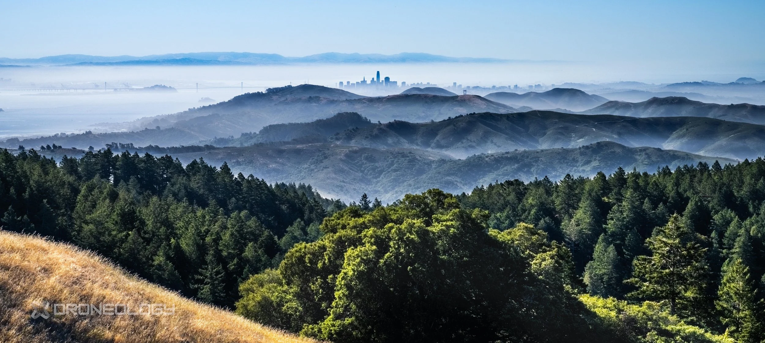
Marin County
Media Catalog
Explore Droneology’s curated and growing aerial B‑roll and media collection featuring Marin County. These clips are available for licensed use across real estate listings, property marketing, local business websites, and promotional videos. Previews below stream in reduced resolution by default and can be manually set (via the gear ⚙️ icon) up to 1080p with a watermark. Licensed clips are delivered in full 4K resolution, completely unwatermarked.
Preview files are intentionally reduced in color, contrast, and overall accuracy for faster browsing. Many clips are also available in D‑Log, offering expanded dynamic range and greater latitude for professional color grading. Licensed masters preserve full clarity, true color fidelity, and the original dynamic range captured on location.
ID: MC001
Name: Marin San Francisco View Slow Move Forward
D-Log Available: Yes
ID: MC002
Name: Marin San Francisco View Ascending Shot
D-Log Available: Yes
ID: MC003
Name: Marin San Francisco View Pan to Mill Valley
D-Log Available: Yes
ID: MC004
Name: Marin Mt. Diablo Pan to Richmond Bridge
D-Log Available: Yes
ID: MC005
Name: Marin Richmond Bridge Pan to Mt. Tam
D-Log Available: Yes
ID: MC006
Name: Marin Mt. Tam & Mt. Diablo San Francisco Wide Angle Pan
D-Log Available: Yes
ID: MC007
Name: Marin San Francisco Costline
D-Log Available: Yes
ID: MC008
Name: Marin Stinson Bolinas Pt. Reyes
D-Log Available: Yes
ID: MC009
Name: Marin Mt. Diablo to San Francisco Ascending Parallax Shot
D-Log Available: Yes
ID: MC010
Name: Marin Mill Valley to San Francisco Parallax Shot
D-Log Available: Yes
ID: MC011
Name: Marin Forest Road Nadir Shot
D-Log Available: Yes
ID: MC012
Name: Marin County Slow Rise Pan Low Clouds
D-Log Available: No
ID: MC013
Name: Marin County Tree In the Clouds #1
D-Log Available: No
ID: MC014
Name: Marin County Tree In the Clouds #2
D-Log Available: No
ID: MC015
Name: Marin County Tree In the Clouds #3
D-Log Available: No