Every Angle. Every Altitude.


Our Services
From Ground to Sky
Real Estate Media & Spatial Imaging Services In Marin County & the Greater Bay Area
Droneology provides
high‑quality real estate media and spatial imaging services
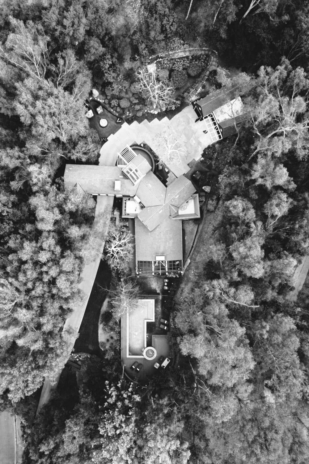
across Marin County and the Greater Bay Area. We capture clean interior and exterior photography,
cinematic walkthrough videos,
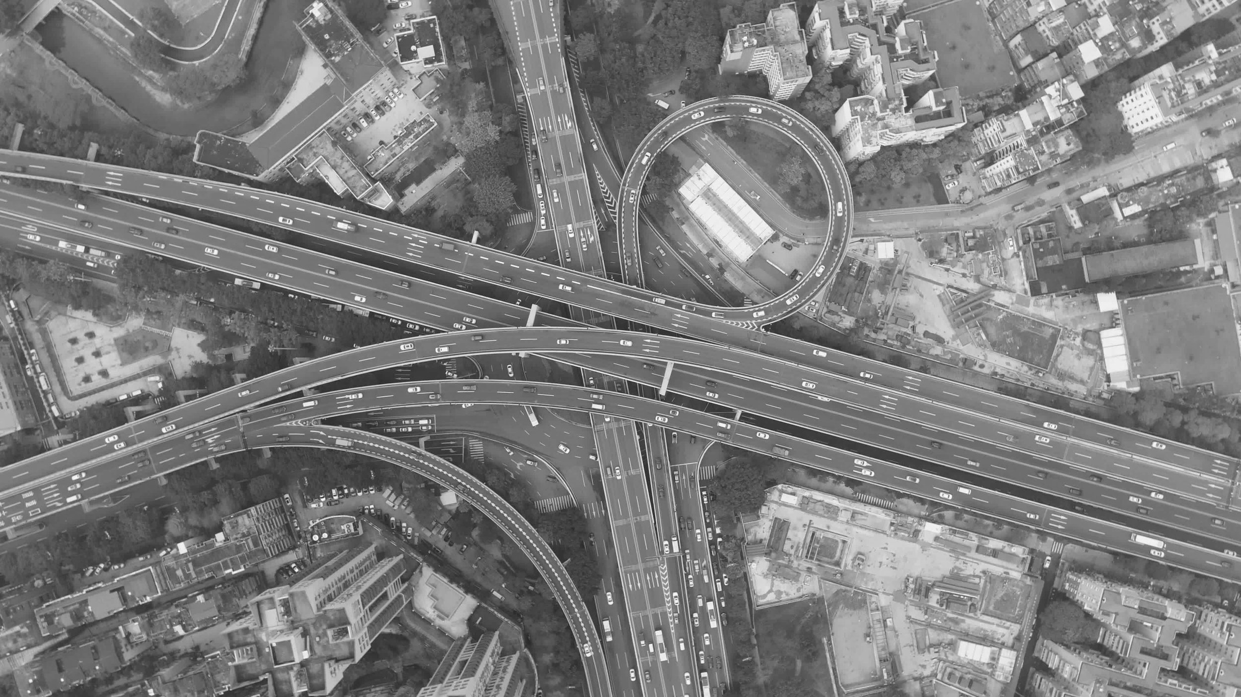
aerial photography,
360° virtual tours and Matterport 3D scans,
RTK drone mapping and orthomosaics,
and detailed
floor plans
for property marketing and project documentation.
We also offer a comprehensive
Media Catalog & Editing Services,
featuring curated aerial B‑roll, licensed stock media, and professional editing options for real estate, construction, commercial, and architectural projects. This catalog provides ready‑to‑use visuals and customizable media packages designed to support marketing, presentations, and project communication.
Our work supports real estate, construction, commercial development, and
architectural projects with accurate spatial data, clear visual communication, and dependable
turnaround times.
From high‑accuracy mapping to immersive, room‑by‑room experiences, we help
clients see their spaces with clarity—so they can market effectively, plan confidently,
and make informed decisions. While we handle the imaging, data, and technical details,
you stay focused on what matters most. Let’s bring your project into sharper focus and move
it forward with confidence.

Trusted by Professionals
Architecture, Engineering & Construction (AEC)
Real Estate & Property Marketing
Insurance & Claims Documentation
Utilities & Infrastructure
Surveying & Geospatial Services
Safety & Compliance
Retail & Hospitality Environments
Events & Experience Design
Health & Wellness Facilities